03 · Education

Academic Journey

From Sainik Awasiya’s disciplined halls in Bhaktapur to the survey fields of Kathmandu University.

Education History

BE
2022 — Present (7th Semester)
Kathmandu University, School of Engineering · Dhulikhel, Kavrepalanchok
Bachelor of Engineering — Geomatics Engineering

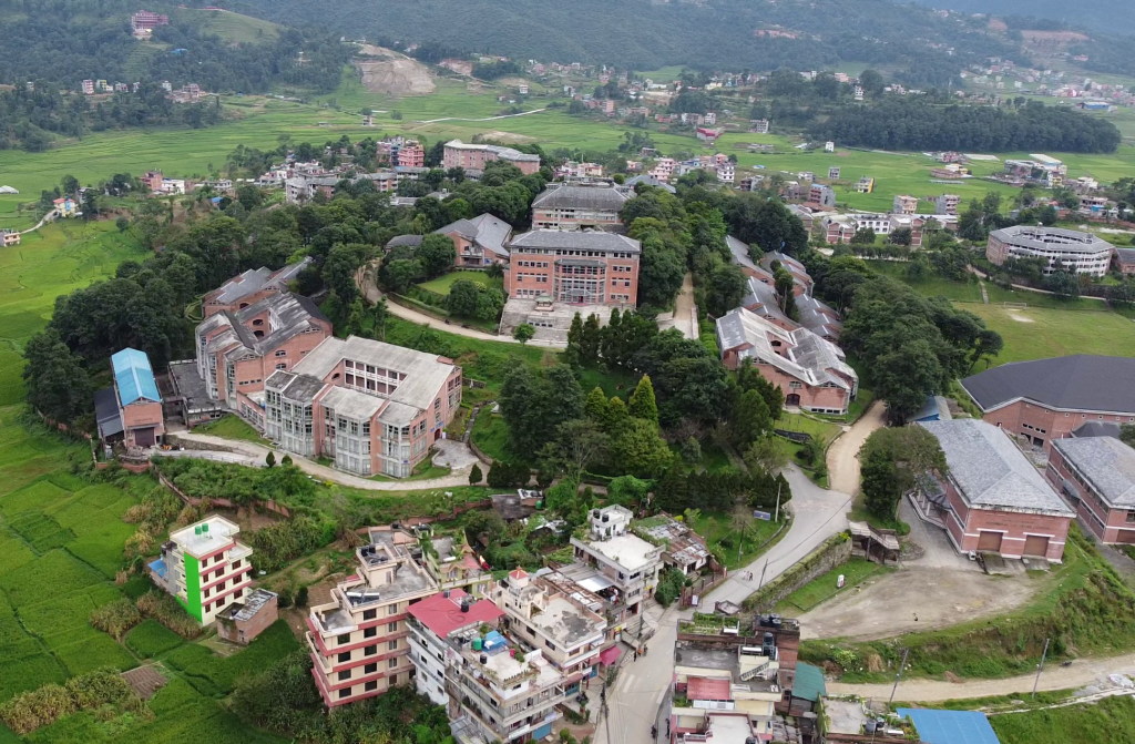
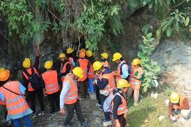
A four-year programme covering Geodesy, Photogrammetry, Remote Sensing, GIS, Land Administration, Spatial Database Management, and WebGIS development. Conducting regular field surveys, thematic map production, and spatial analysis projects. Currently in the 7th semester with strong focus on GIS application and web mapping.

GeodesyPhotogrammetry Remote SensingGIS & WebGIS Land AdministrationSatellite Geodesy Spatial DatabaseDigital Cartography
Kathmandu University Campus
KU Campus, Dhulikhel
Field Survey at KU
Field Survey Practice
+2
2020 — 2022
Sainik Awasiya Mahavidyalaya · Sallaghari, Bhaktapur
Higher Secondary Certificate (+2) — Science (PCM)

Completed the NEB Higher Secondary Certificate in the Science stream with Physics, Chemistry, Mathematics, and Computer Science. Sainik Awasiya’s structured residential environment built discipline, teamwork, and strong foundations in analytical thinking that continue to shape my academic approach.

PhysicsChemistry MathematicsComputer Science NEB BoardSainik Awasiya
Sainik Awasiya Mahavidyalaya
Sainik Awasiya Mahavidyalaya, Sallaghari, Bhaktapur
SEE
— 2020
Sainik Awasiya Mahavidyalaya · Sallaghari, Bhaktapur
Secondary Education Examination (SEE)

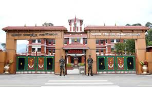
Completed the NEB Secondary Education Examination from Sainik Awasiya Mahavidyalaya, Sallaghari, Bhaktapur, building a strong foundation in science and mathematics that paved the way for engineering studies.

NEB BoardScience Stream Sainik Awasiya Mahavidyalaya
Sainik Awasiya Mahavidyalaya
Sainik Awasiya Mahavidyalaya, Sallaghari, Bhaktapur

Relevant Coursework

🗺
Digital Cartography
Map design, projections, symbology and spatial layout.
🛰
Remote Sensing
Satellite image processing and land cover classification.
🌎
WebGIS
Leaflet.js, GeoServer, WMS/WFS and web mapping.
📡
Satellite Geodesy
GNSS surveying, GPS processing and coordinate systems.
🏠
Land Administration
Cadastral mapping, land registration and policy.
🗃
Spatial Databases
PostgreSQL/PostGIS, spatial SQL and data modelling.
📏
Engineering Survey
Total station, theodolite, levelling and traversing.
Photogrammetry
Aerial imagery, DEM generation and orthophotos.

Certifications & Short Courses

🌎
Google Earth Engine Fundamentals
Google / EarthEngine Community
2024
🗺
QGIS Advanced Workflows
QGIS.org Community Course
2023
Python for GIS & Spatial Analysis
Udemy / Independent
2023
🛰
Remote Sensing with Sentinel Data
ESA EO College
2024
🌍
Web Mapping with Leaflet.js
Self-directed / MDN Docs
2025
🗃
PostgreSQL & PostGIS Spatial
PostgreSQL Tutorial
2023